Hartmann (Hartmund) Schedel (1440-1514) is one of the first cartographers to use the printed press. He was a trained physician, humanist, and bibliophile whose love for books and the arts resulted in him making noted contributions to history and cartography. One of his most known and illustrious contributions to history and cartography is the Liber Chronicarum or the Nuremberg Chronicle, as it is known in English. The Nuremberg Chronicle was first published in Nuremberg, Germany in 1493. The publication has a religious-influenced narrative that traces the history of the world from Genesis to the time that it was written. The Nuremberg Chronicle is still seen as one of the densest accounts of history and has had several editions.
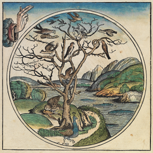
The religious influences of the text is demonstrated through Schedel’s arrangement of world history. Schedel begins the text with events in the Old Testament while artfully including mythology and classical history. The religious influence is also demonstrated through the inclusion of the birth and death of Jesus Christ, as well as other biblical references such as the plagues that destroyed nations, all of which are mentioned in the Old Testament of the Bible. Schedel also includes text on the Anti-Christ as well as the last judgment, all of which are referenced in modern day Revelations of the New Testament.
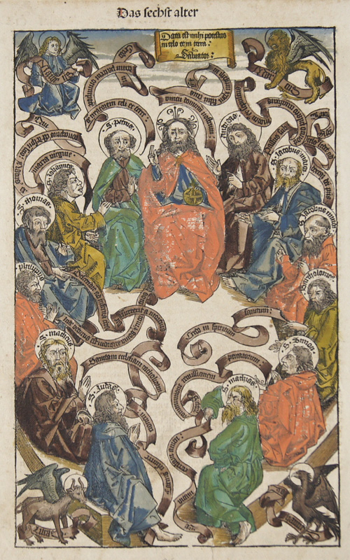
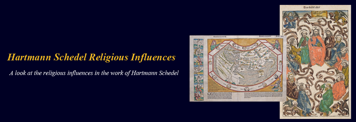
It is therefore no surprise that Schedel’s cartographic work has also been influenced by religion. The Das sechst alter. – Data est mihi potestas in celo et in terra: Salvator, which can be found in Adina Sommer’s collection, shows Jesus Christ surrounded by the Twelve Apostles. In the map, each of the evangelists are represented by his symbol in the corners. The map was created using a woodcut technique and was first issued in Nuremberg. It was published in 1495 and is in its original colors. The map can be found here (asommer.de) along with several others from Schedel, most of which have religious influences.
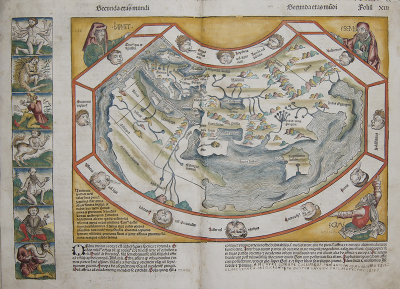
The Secunda Etas Mundi for example is a beautiful map of the ancient world. The map’s religious influence is clear as shows twelve wind heads and in the corners images representing the three sons of Noah- Shem, Ham and Japheth. The Left border shows illustrations of strange and mythological creatures and on the reverse of the map are 14 more strange creatures. These maps and others can be found can also be found on asommer.de

