The advent of technology has caused the use of printed maps to decline. Digital mapping has now become ubiquitous with mapping technologies such as foursquare and Google maps providing easy access to navigation capabilities at our fingertips. Before the rise in technology, cartography informed navigation and exploration for centuries. Antique maps now provide an important glimpse into the past as they demonstrate the experience of explorers before us.

Antique maps are mesmerizing works that have historical, scientific and artistic value. These maps represent important time periods of world history. Changes in map design are reflective of the geographical discoveries of navigators helping antique maps reveal telling stories about the evolution of exploration.

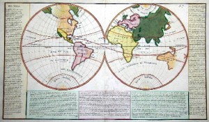
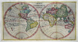
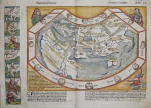
Antique Maps also exemplify the scientific discovery of the period in which they were made. These rare maps were created without the use of technologies such as landsat yet they are highly accurate, depicting latitude and longitude coast lines, islands, rivers, and harbours. Adina Sommers has several antique world maps in the collection. These rare maps are from various map makers. One of the most recent addition to the collection is Schelel’s “Secunda Etas Mundi”.

In this world map, Schedel uses Ptolemaic style to illustrate the second of the six ages of the world according to the bible. The first age was creation, the second with Noah up to the the sixth which was the birth of Christ. The map shows Noah’s sons Shem, Japheth, and Ham displaying Asia, Europe, and Africa respectively as their inheritance. In the map, Jerusalem is at the center of the known world. The margins depict monsters that medieval travel tales said lived in the outskirts of the world.


